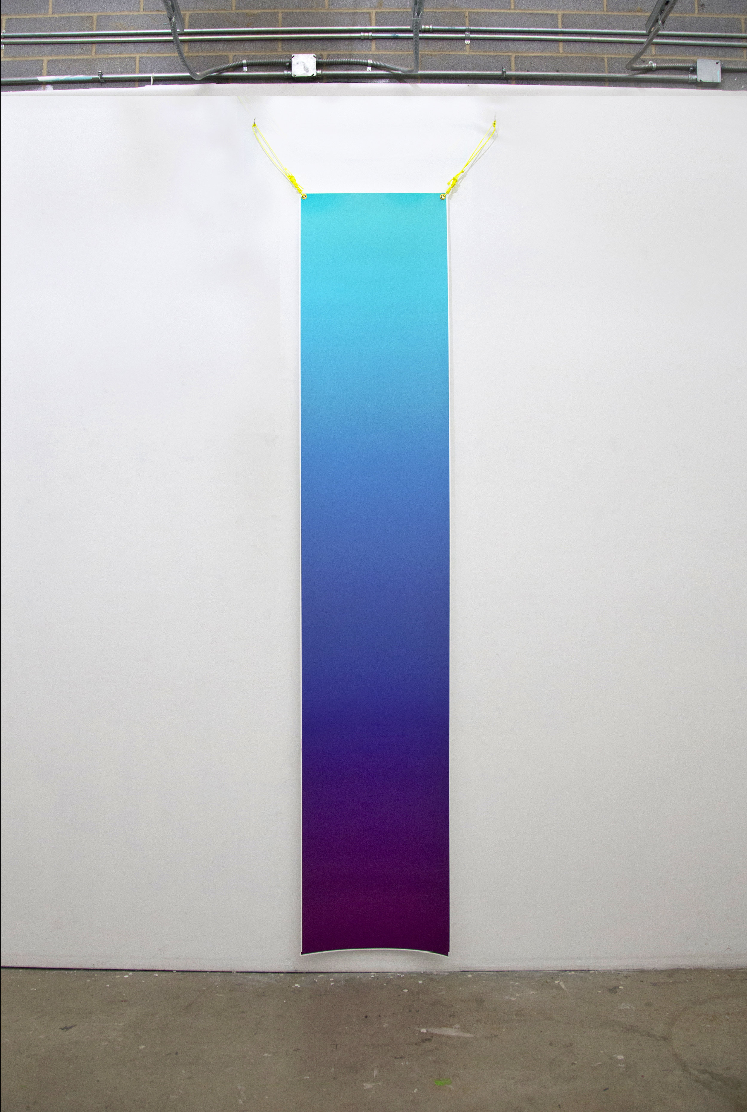
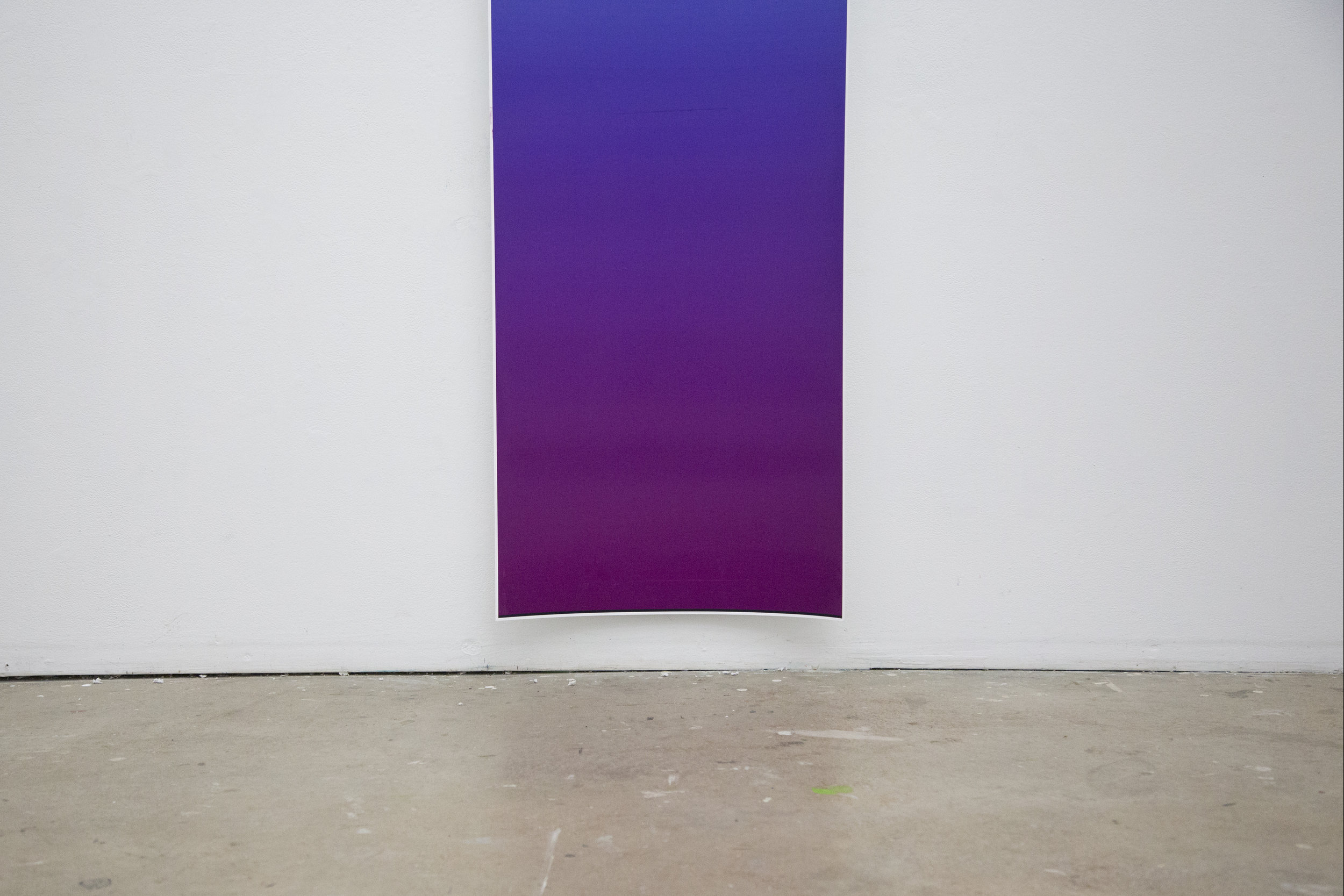
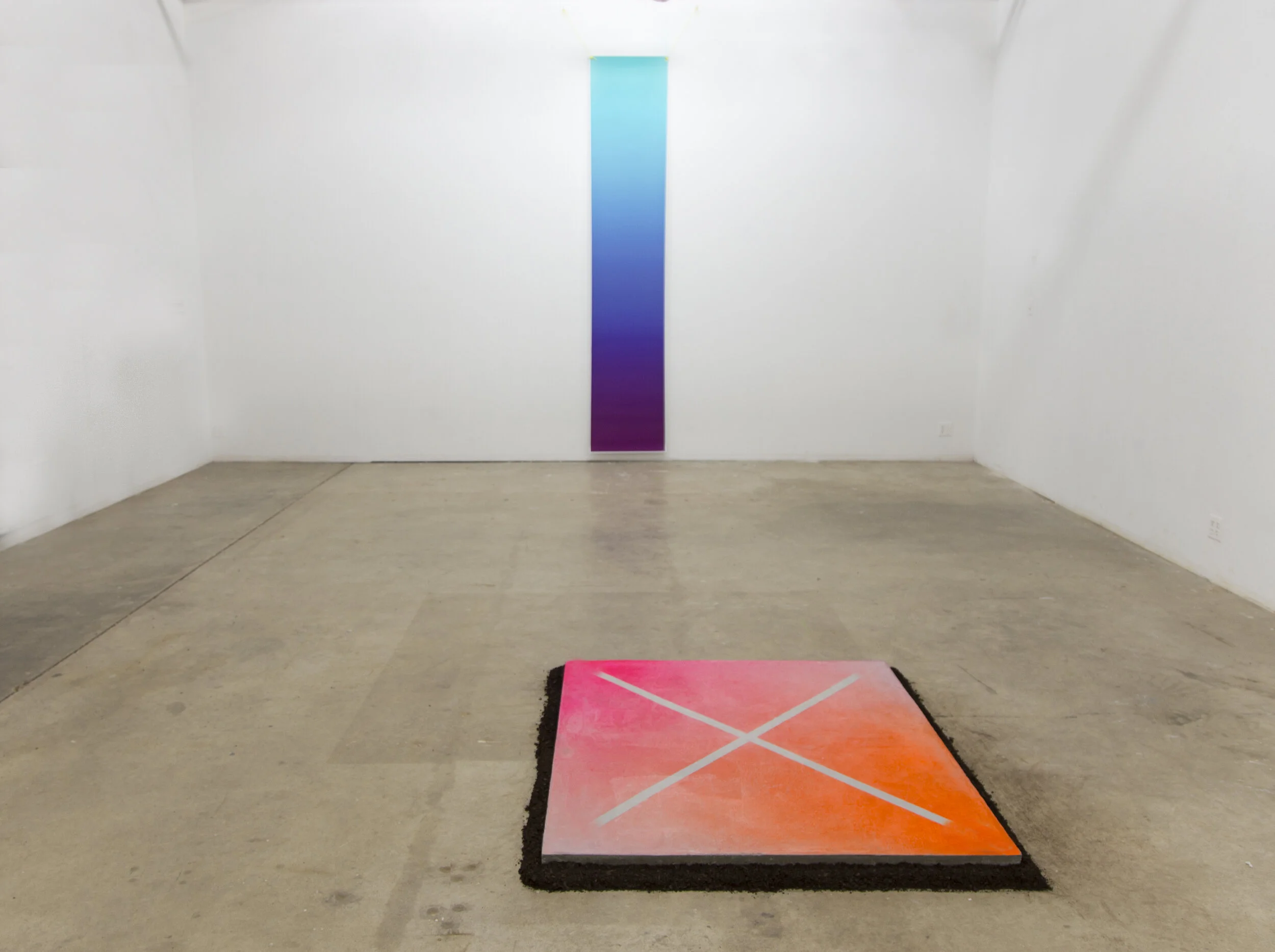
Chromacartographies translates geolocation values into color values in order to map space through color. Place becomes palette. Each color gradient is like a fingerprint for that place, where latitude and longitude become RGB color values that are at once: distinct, relational, and tied to the geometry of the earth itself.
Below you'll find the system that allows you to map the coordinates yourself.